Are you running FreeBSD in any vehicle hardmounted ?
I am considering creating a mobile LAN. Starting with a mobility device.
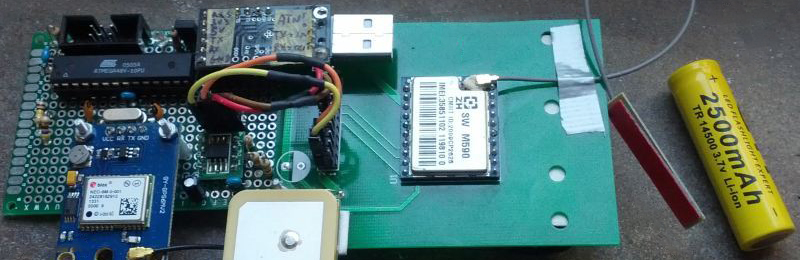
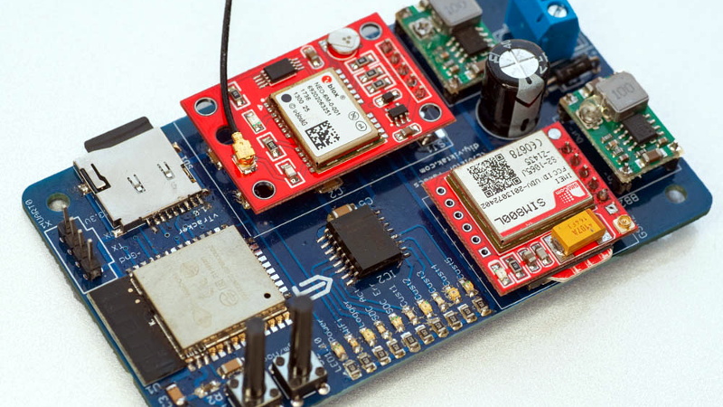
I have an older vehicle without screen or GPS. So my first thought is Tablet on a VESA mount hanging off the dash. 4G module for GPS.
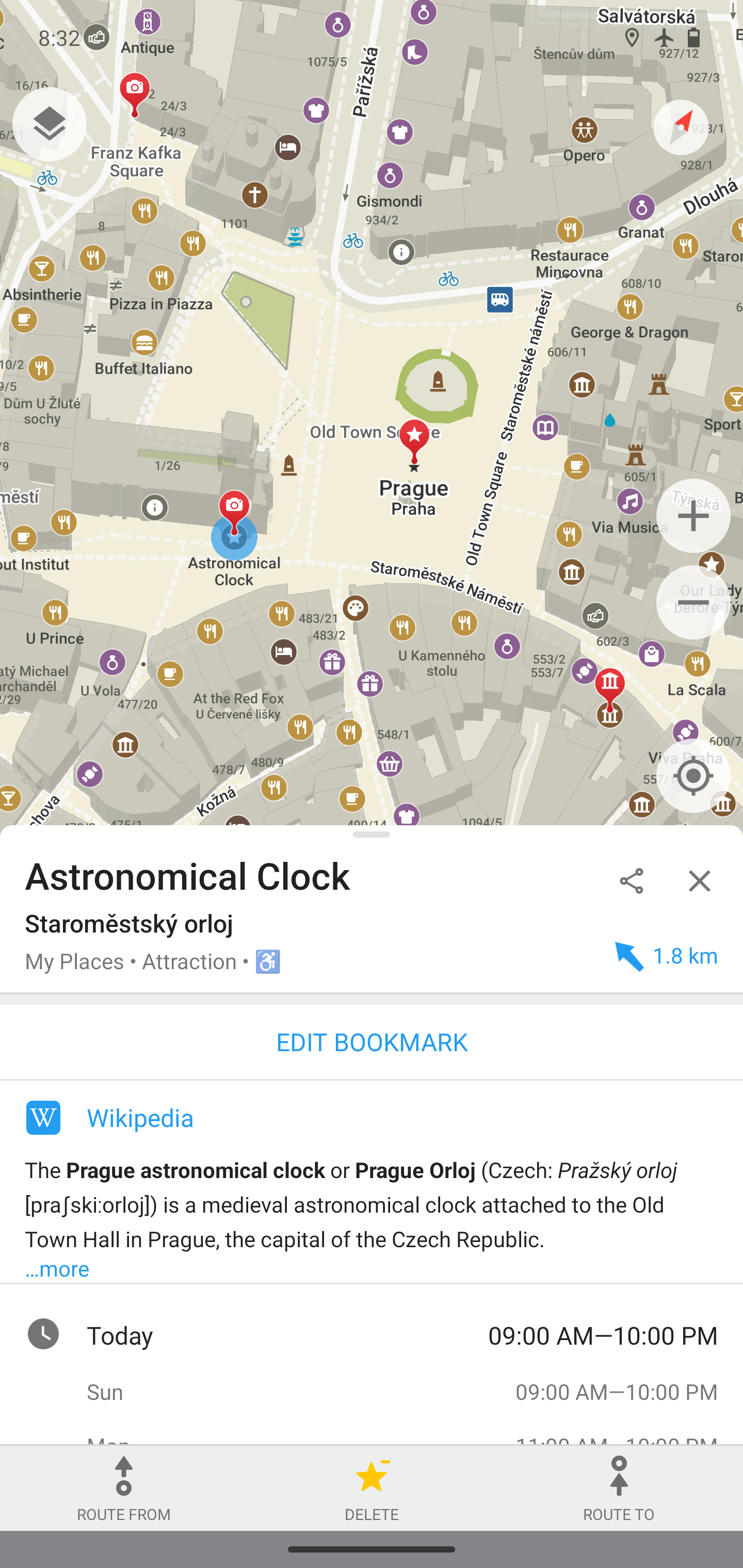
What about navigation? How can I display my location on a map?
What is the land equal of astro/opencpn ??
I am considering creating a mobile LAN. Starting with a mobility device.
I have an older vehicle without screen or GPS. So my first thought is Tablet on a VESA mount hanging off the dash. 4G module for GPS.
What about navigation? How can I display my location on a map?
What is the land equal of astro/opencpn ??


")


")
